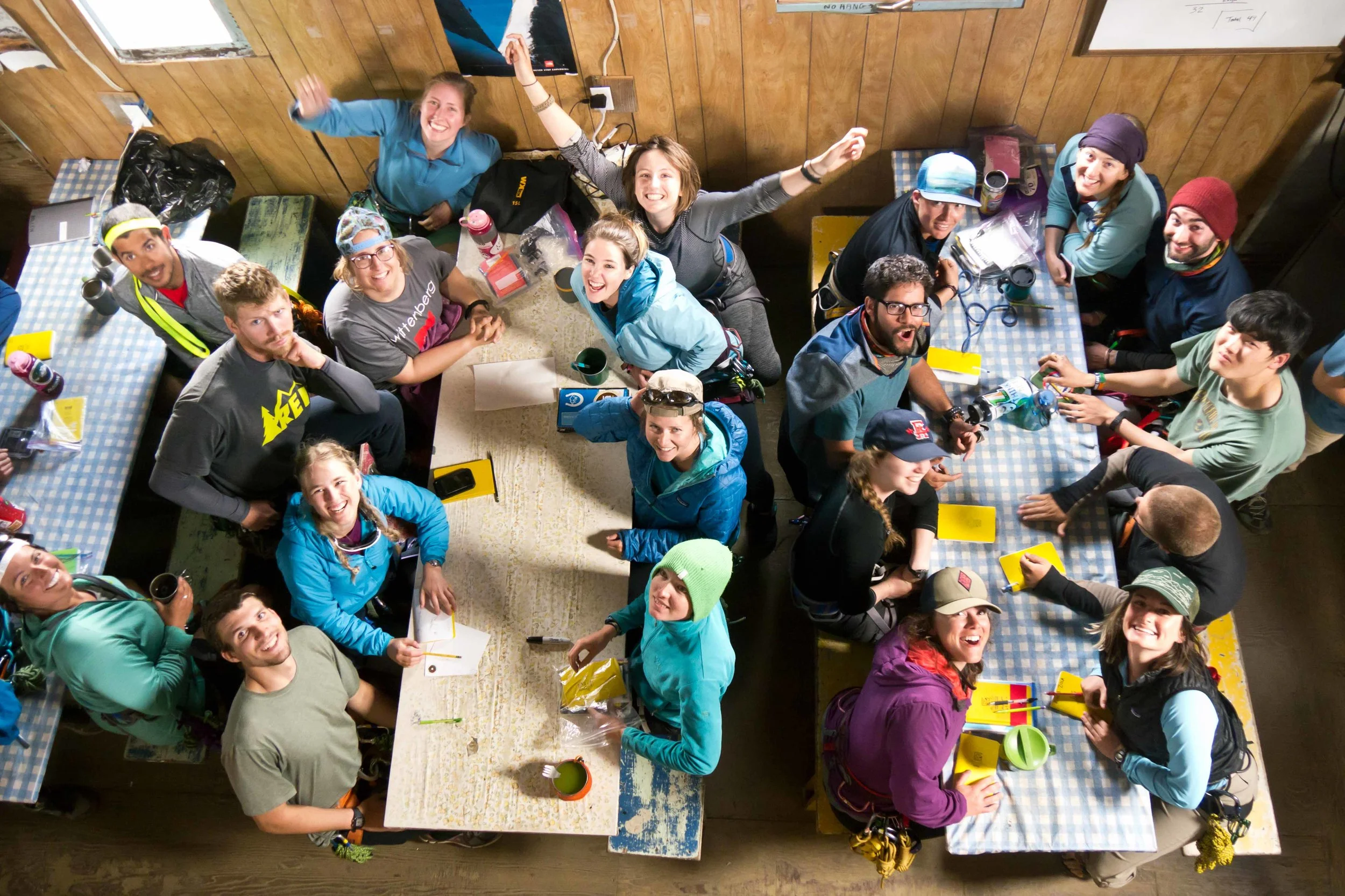
Kate Bollen
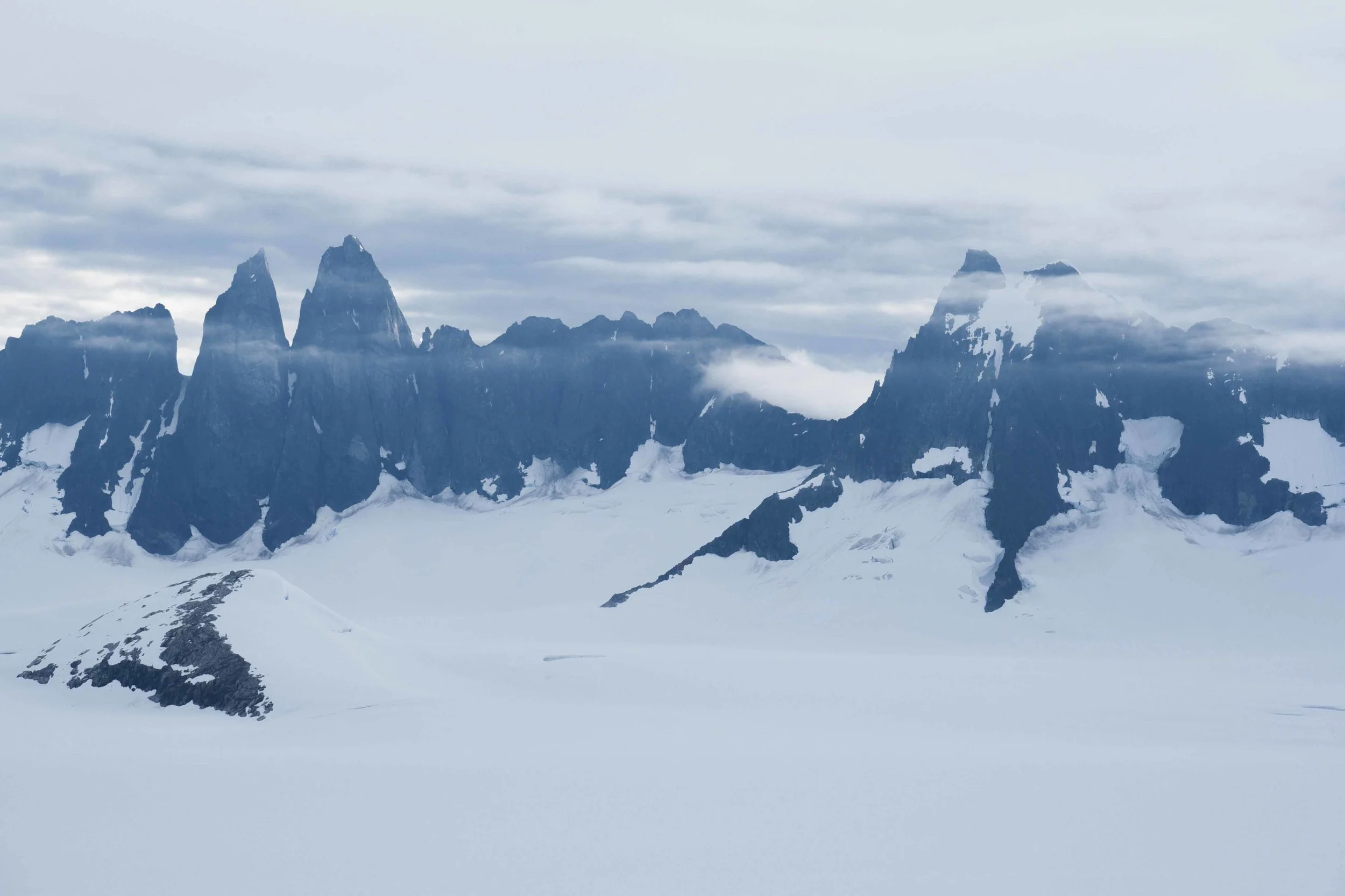
On a map of the Juneau Icefield, Taku Glacier is a distinguished ribbon that winds out of the southeast corner of the icefield as an outlet glacier. It’s remarkably large, even by Alaskan standards. It encompasses 671 square kilometers (Pelto et al, 2013) and measures about 5 kilometers across where it passes in front of Camp 10. It’s fed by four tributary glaciers that line its upper margins, and its outline is similar to the shape of Thailand. Taku Glacier is quite special, not only because it sets a stunning scene for JIRPers to admire from the porch of the Camp 10 cook shack, but also because it’s one of only a hand-full of glaciers in Alaska (and around the world, for that matter), that has been advancing (Pelto et al, 2013).

Shawnee Reynoso and Louise Borthwick sleeping out on the porch of the Camp 10 cook shack overlooking Taku Glacier. Photo: Kate Bollen
Until recently, Taku Glacier has been growing in mass. Indeed, the Taku looks unlike its neighbors as it descends toward the floodplain of the Taku River. The ice juts out over the small trees that live in its path, as the adjacent Norris Glacier looks as if it’s withering away, cracked and shrunken. Since most Alaskan glaciers are surrounded by forests that are actively creeping out onto the new ground exposed by glacial retreat, the sight of the Taku mowing over trees and shrubs as it slides down its broad valley is quite victorious to the glacier enthusiast.

Positions of the end of Taku Glacier from 1948 to 2014. Adapted from a figure by Chris McNeil.
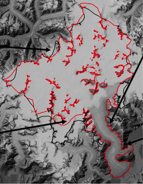
Boundaries of Taku Glacier on the Juneau Icefield. Adapted from a figure by Chris McNeil.

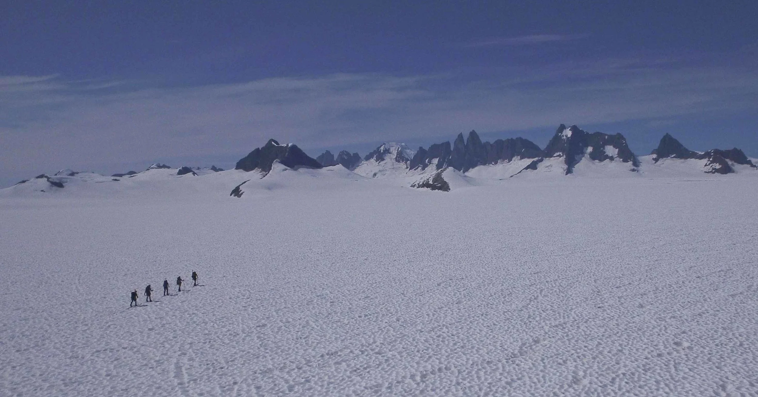
Students Molly Peek and Shawnee Reynoso and faculty member Chris McNeil ski through thinly exposed crevasses on Taku Glacier below Camp 10 on a sunny day. Photo: Kate Bollen
There are two main causes behind the anomalous case of the Taku. First, the glacier has a unique hypsometry, which refers to the distribution of the glacier’s surface area with respect to elevation. Most of the Taku lies above 1200 meters above sea level, so it has a huge accumulation zone (the area where annual snowfall doesn’t completely melt by the end of the melt season) compared to the total surface area of the glacier. As a result, the majority of Taku Glacier can gain mass from falling snow each year. Second, Taku Glacier is a tidewater glacier. This may strike an observer as peculiar since the Taku currently flows into a river rather than the ocean, but this classification stands based on the Taku’s behavior and bed topography.

Olivia Truax collects snow depth data on the Northwest branch of Taku Glacier. Photo: Kate Bollen
To understand the dynamics of Taku Glacier, we have to know the story of the tidewater glacier cycle. Here is a summary derived from a lecture delivered to JIRP students by Martin Truffer earlier this summer at Camp 17. As the end of a tidewater glacier, known as the terminus, rests in a fjord, the elevation of the glacier’s bed is below sea level. As a result, the melt water beneath the terminus of the glacier becomes pressurized so that it can still flow into the ocean despite the weight of the seawater column. The terminus is quickly eroded as big chunks of ice peel away during calving events and as warm sea water circulates against the terminus. Consequently, the glacier is driven into a rapid retreat, and it recoils up its valley until it reaches a resting point above sea level. There, the glacier is able to stabilize and to eventually begin an advance by pushing its dirty, icy terminus forward on a terminal moraine (a pile of sediment collected by the glacier at its terminus as it grinds forward). By advancing a homemade mound of sediment ahead of itself, the glacier can rest above the deep water of the fjord and the subglacial hydraulics are less pressurized, so the glacier is protected from the intense melting and erosion that previously drove it back. As it continues to bulge onward, the glacier eventually reaches a state where its surface balance nears zero, which means that its accumulation and ablation (melting) are equal. At this point, the glacier can reenter a rapid retreat as the tidewater glacier cycle continues.

A steamship floats in front of the Taku terminus during an earlier advancement of the glacier.
As for the Taku, its bed doesn’t rise above sea level until an estimated 20 kilometers up-valley of its terminus (oral comm. Beem 2016). Additionally, the Taku has been in the advancement stage of the tidewater glacier cycle since 1850, but its advance has halted in the last two years (oral comm. Truffer, 2016). It’s too early to determine if the Taku has reached the end of its advance or to say that a rapid retreat is imminent. However, the reactions of the Taku and other glaciers to climate will have wide-spread impacts and can tell us quite a bit about the changing climate. Mountain glaciers account for less than 1% of global glacial ice volume, but their rapid rate of mass loss is responsible for one-third of the current observed sea level rise (Larsen et al., 2015). Additionally, glaciers play a big role in downstream ecosystems as they deliver nutrients and sediment as well as well as manipulate water flow, turbidity, and temperature (O’Neel et al., 2015). Consequently, these glaciers can almost directly impact where and how people near and far are living. The Taku and other glaciers captivate us as scientists and inspire us as humans to understand the complex systems in which we live.
References
Beem, Lucas. Oral communication 2016.
Larsen, C. F., E. Burgess, A. A. Arendt, S. O’Neel, A. J. Johnson, and C. Kienholz (2015), Surface melt dominates Alaska glacier mass balance, Geophys. Res. Lett., 42, 5902–5908, doi:10.1002/2015GL064349.
O’Neel, S. et al. 2015. Icefield-to-Ocean Linkages across the Northern Pacific Coastal Temperate Rainforest Ecosystem, BioScience, 65, 5, 499-512.
Pelto, M., J. Kavanaugh, and C. McNeil , Juneau Icefield Mass Balance Program 1946-2011, Earth Syst. Sci. Data, 5, 319-330, doi:10.5194/essd-5-319-2013.
Truffer, Martin. Oral communication 2016.