Kristen Lyda Rees
University of Alaska Southeast
Throughout the process of becoming a FGER at JIRP, I have learned many things. Such as the true extent of the scientific community’s love of acronyms. Therefore, this blog is titled ‘FFNL’. FFNL is representative of Family, Friendship, Nunataks, and Loyalty.
Long ago, banners and standards were raised in progressions of your family. Crests and flags were a reflection of who you were loyal to and what you fought for. We don’t necessarily all walk around with a standard blowing in the wind before us, but we often wear the banner of others. If we all looked down at the clothes we’re wearing and the stickers we put on our water bottles, we’d see the labels and logos of a company, corporation, or organization whose material products we use and believe in. This is not a bad thing, but I believe it is an important insight to recognize which kickball team we are playing for, whom we are showing allegiance to and whose battles we are fighting in. Our friends and teams are things we get to mindfully select in this life. I hope the staff and faculty all look at their JIRP badges and feel proud of what they’re fighting for.
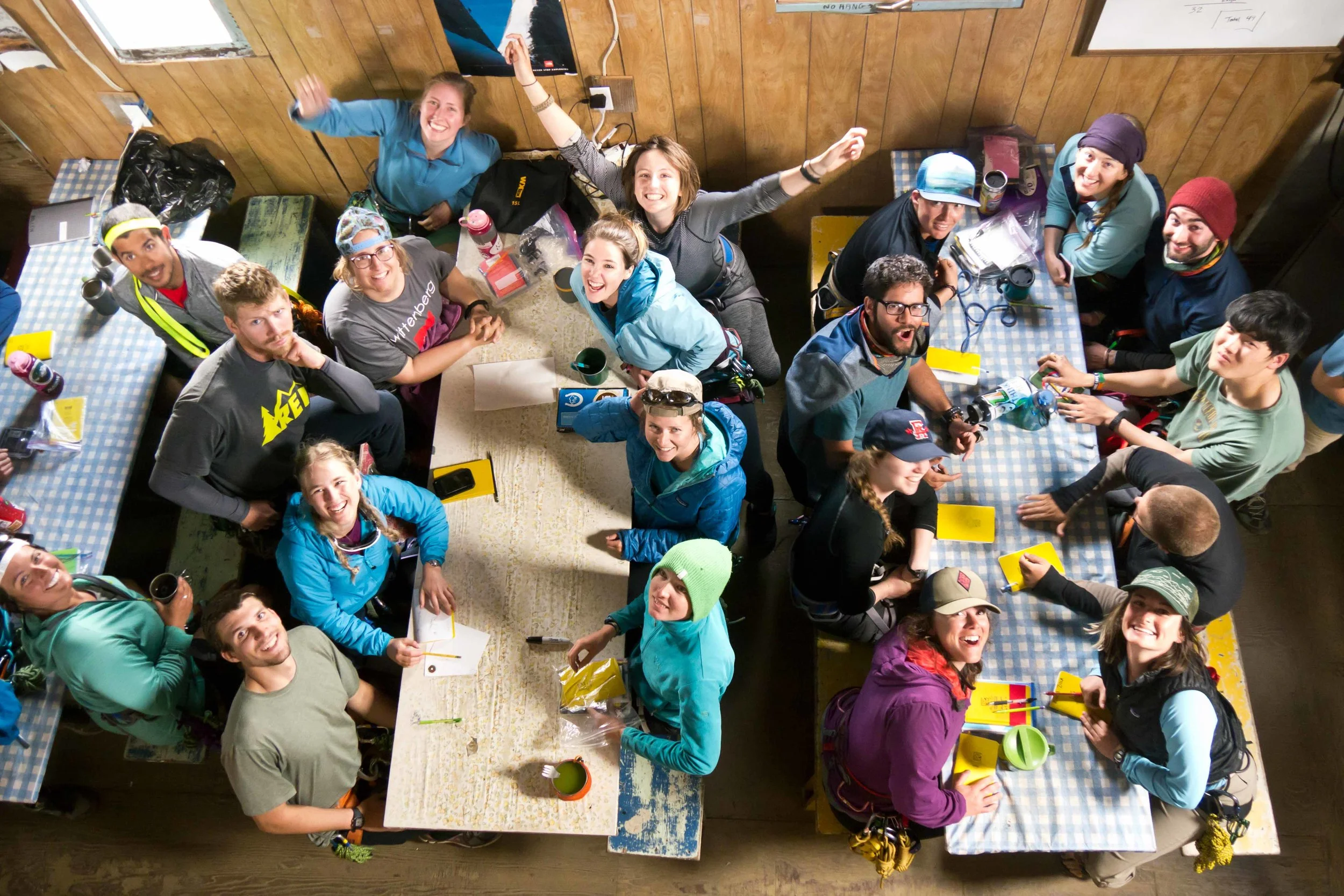
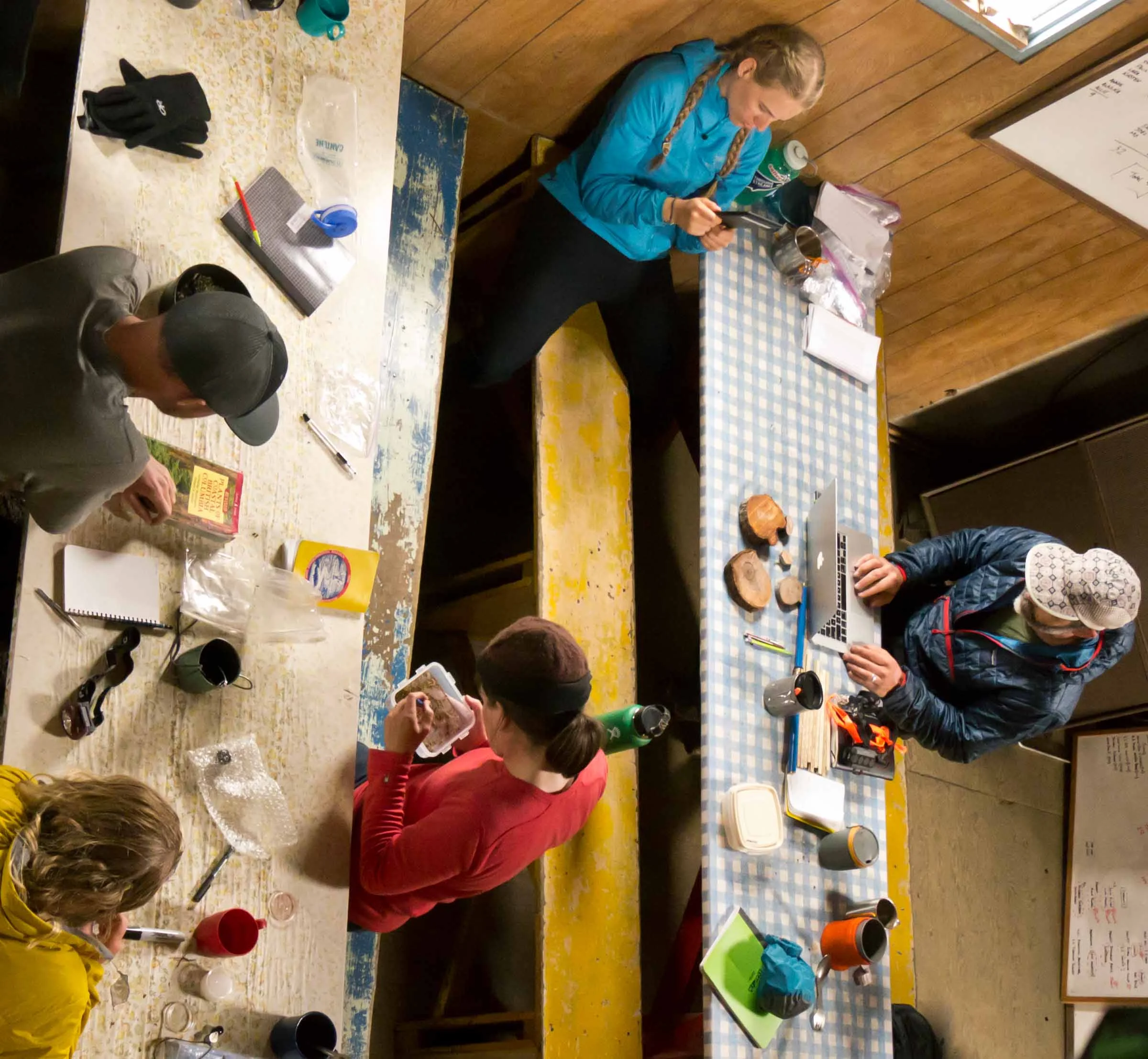
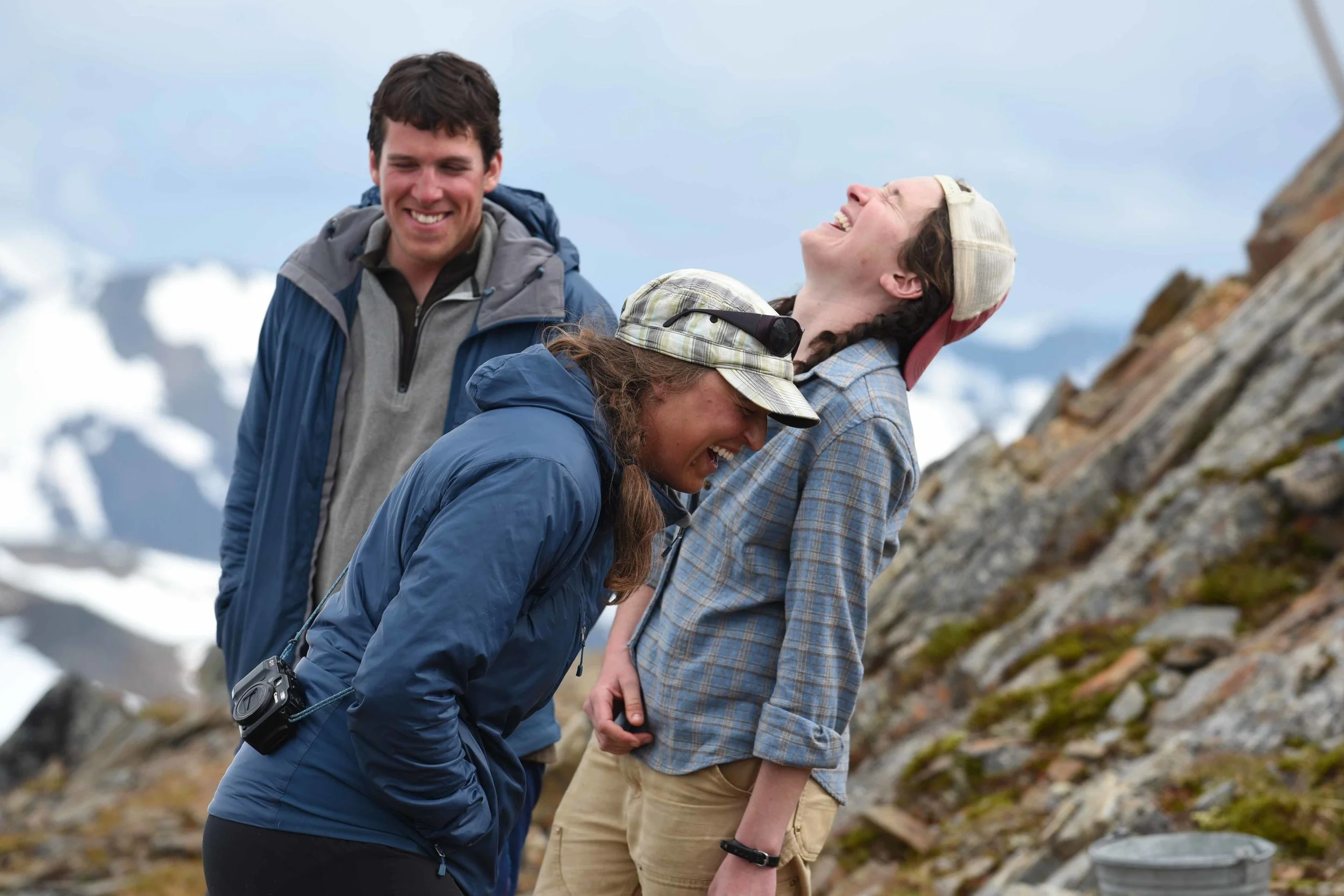
Kristen Lyda Rees and JIRP friends in the Camp 17 cook shack. Photo by M. Beedle.
Where we come from and who our family is are two things we don’t have the privilege of choosing in life. Our parents play a massive role in forming us as citizens of society and organisms with a niche in the ecosystem of Earth. I could write an equal and separate paper with respect towards the lessons I’ve learned from my mother. She is a glorious reflection of humanity and I owe her much, but I’m going to talk about my father for a minute. A few days ago, I got news my dad had had a seizure and lost motor skills and sensation in the left side of his body. Yesterday, he went into brain surgery to remove an egg sized tumor growing on the surface of his brain. He is doing very well and I even spoke to him for a few minutes. He is proud to be able to touch his finger to his nose. He should be leaving the hospital in the next day or two.
In Terry Tempest William’s ‘Refuge’ she speaks of growing up in Utah within the cultural bounds of the Mormon Church and her ties to the natural realm of the high desert.
“It is a well-known story in the Desert West, ‘The day we bombed Utah’ or more accurately, the years we bombed Utah: above ground atomic testing in Nevada took place from January 27th 1951 through July 11th 1962. Not only were the winds blowing north, covering ‘low-use segments of the population’ with fallout and leaving sheep dead in their tracks, but the climate was right. The United States of the 1950’s was red, white, and blue. The Korean War was raging, McCarthyism was rampant. Ike was it, and the cold war was hot. If you were against the nuclear testing, you were for a communist regime.”
My father and many of the people who were born and raised in small, rural communities of southern Utah in the fifties and sixties are what are called ‘Downwinders’.
Devon Rees is an old farmer, a wizard with any tool, and he can fix anything. I owe most of what I know about hard work, loyalty, self-sufficiency, and a sensitivity of nature to him. I spent a great deal of my childhood living on a 1000 acre ranch in south central Utah; following him around, hauling hay, learning the effects of the changing seasons, being assistant flashlight holder, feeding animals, and watching him to see what it meant to contribute to the bigger picture. A hammer is a hammer, a nail is a nail and the horse corral is not going to fix itself. All experiences that have molded me and my values as an adult. Now that I have queries and a path of my own, we do not agree on many things. He is a vestige of a different age. Born in Richfield, Utah on March 6th 1950, he was raised to see the world and the cosmos in a certain way. Not the wrong way, as I’ve learned, just a certain way. I myself believe in science and the power of the human potential where he believes in a magnificent and benevolent god that created the universe; he is a loyal soldier of God and has taught me how and whom I choose to owe my allegiance to with care. I am a loyal barnacle.
Given the circumstances, I didn’t know how to share this life experience with my JIRP compatriots, but this seemed like a good way to express my gratitude for the support and love I’ve received from my community here at Camp 10. It has been a constant learning experience and I’m grateful for the lessons I learn from everyone. I thought I’d be coming up here to the Icefield to collect the stories of others and here I am, sharing mine with them instead. There is a saying ‘show me your friends and I will show you your future.’ Being a part of JIRP, I’ve seen many beautiful reflections of humanity and different ways of being alive. We cannot as individuals, experience all the same life paths, our time here isn’t long enough. But that’s what friends are for: sharing our lives with others makes our own and each other’s far richer and more valuable.
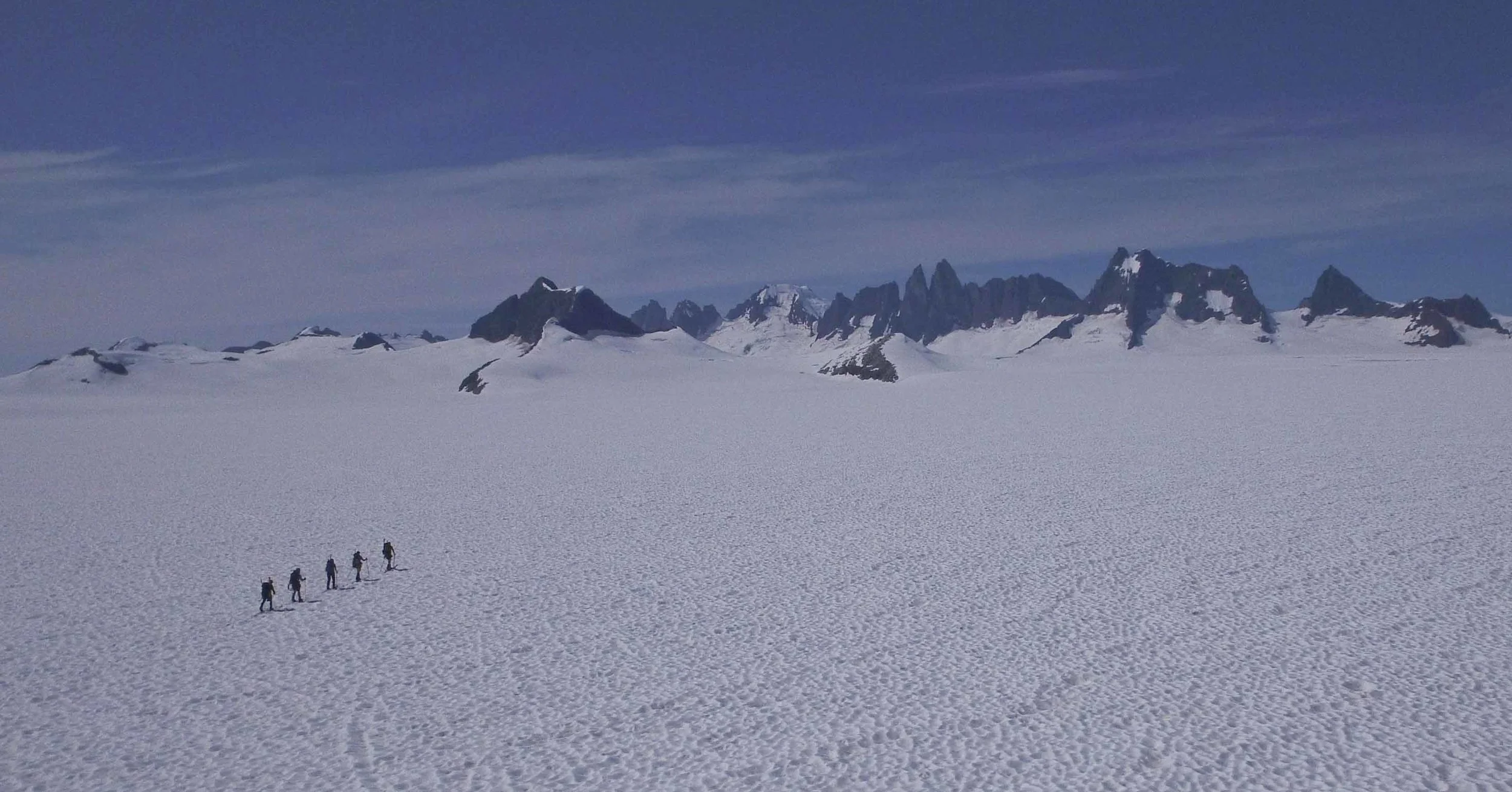
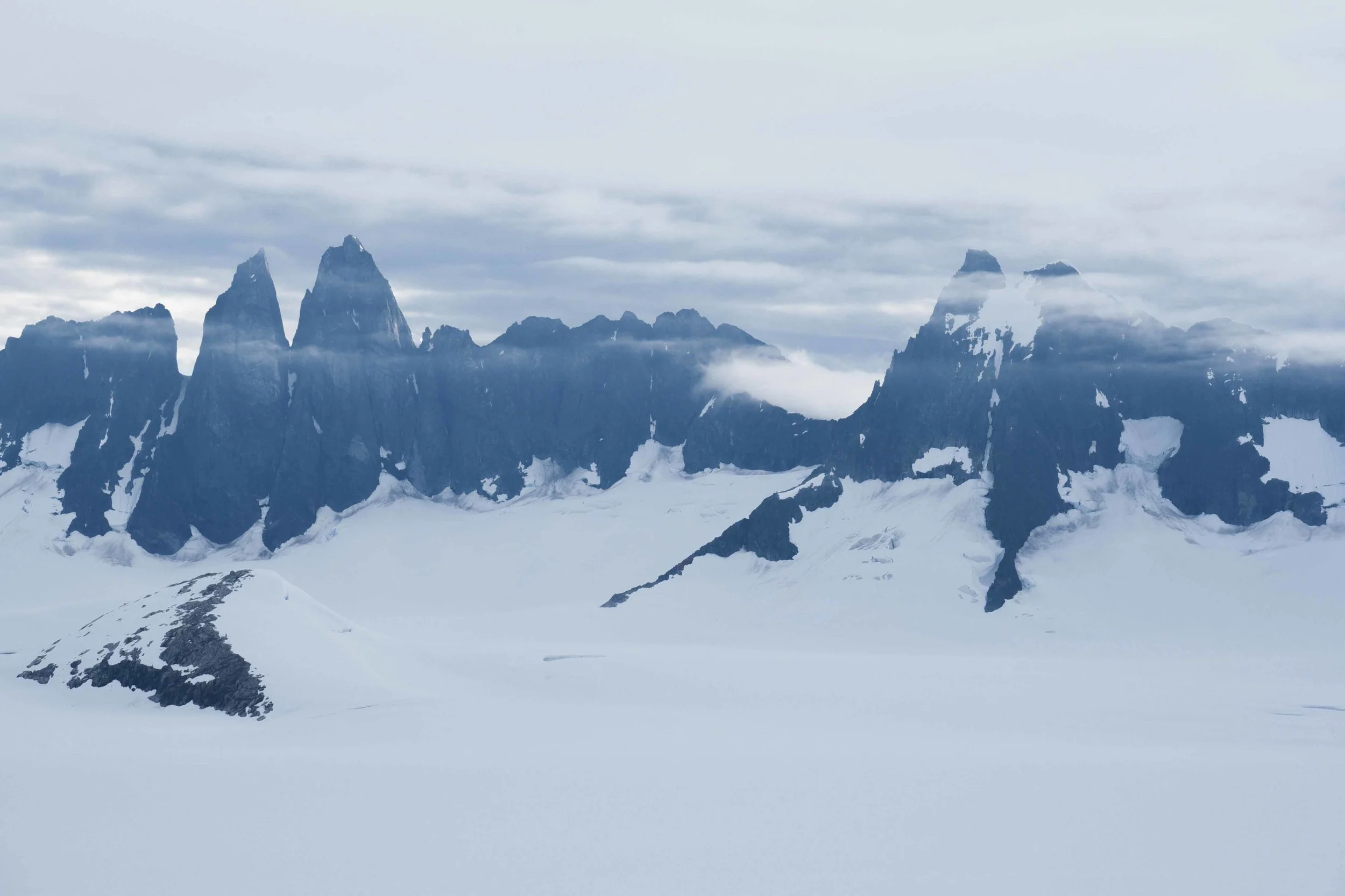
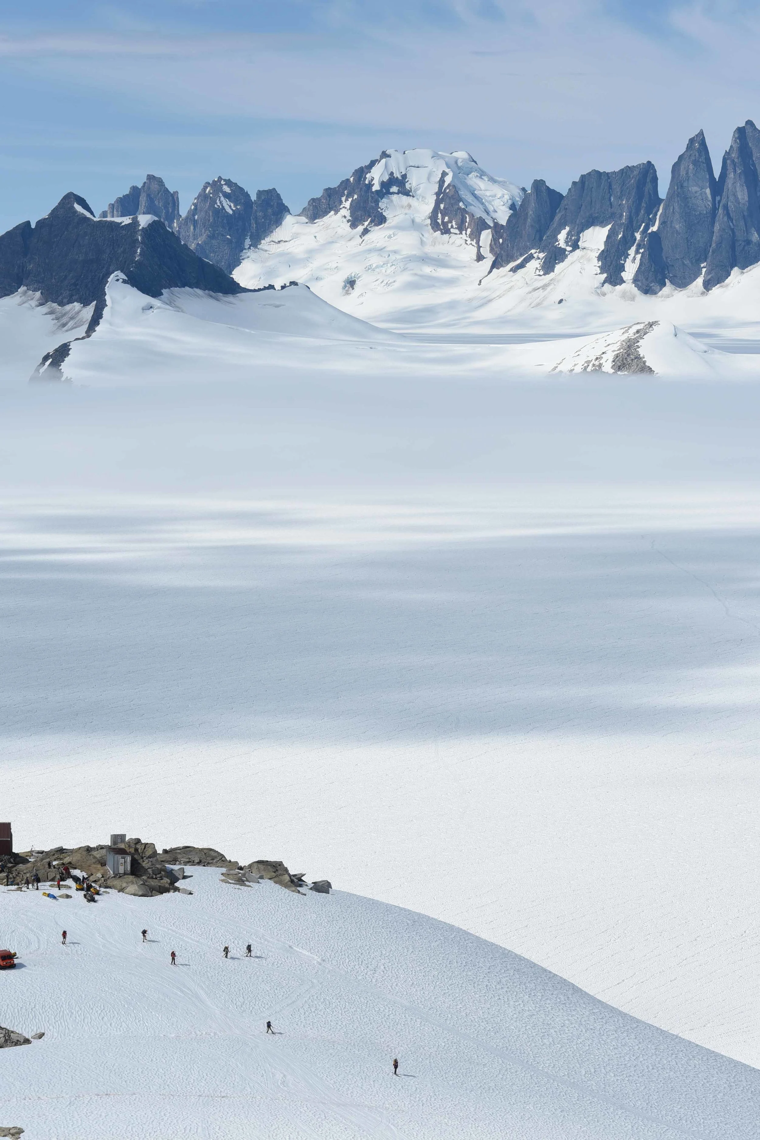
". . . beneath all the ice, all nunataks are connected." A team of JIRPers crosses Taku Glacier. Photo by M. Beedle.
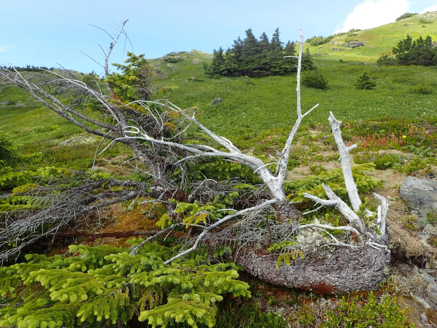
My favorite wall quote is in the Red Dog(outhouse), “No man is a Nunatak.” Nunataks are rocky islands that dot the frozen landscapes of icefields and icesheets. They are the sharp, lonely mountain tops that poke out above the thousands of meters of snow and ice that separate them. It is important to remember that beneath all the ice, all nunataks are connected. We are all the same continent separated by socially constructed illusions of differences between us, the world over. As we learn more about the reality we share and broaden our sense of place in our environment, remember we are all in part of the same whole. We are united under a shared vulnerability. There is no ‘Us vs Them’. The problems we face on one side of the planet aren’t THEIR problems, they’re OUR problems. As we advance our scientific knowledge and technology, we must work to develop the connections between us as a species and as friends.