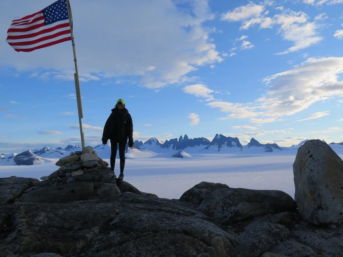
Stable Water Isotope Science on the Juneau Icefield
Jutta Hopkins-LeCheminant, Yukon College
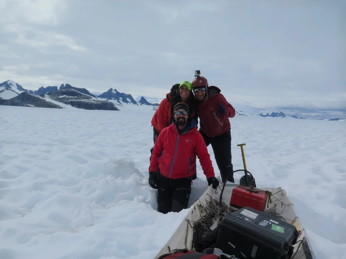
Here at Camp 10 we are now frantically working on group and personal science projects. I am a member of the group studying the stable isotopic composition of the water, snow and ice here on the Juneau Icefield.

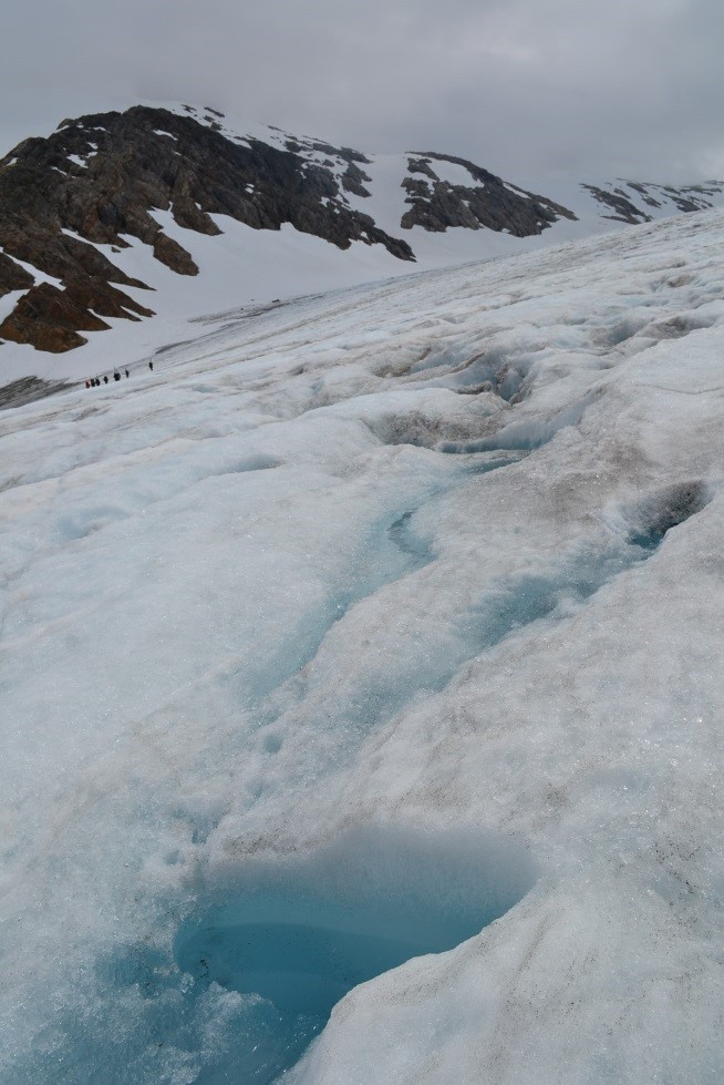
Sampling at various depths in snow pit on the Taku Glacier. (photo credit Jutta Hopkins-LeCheminant)
We have collected and will continue to collect samples from various locations as we traverse from Juneau, Alaska to Atlin, British Columbia. Some of the samples we have collected will be bottled, sealed and sent by helicopter to be analyzed at various labs at a later date, while we will analyze other samples right here at Camp 10 with the Los Gatos laser water isotope analyzer fondly known as “Steve, the Isotopolizer”.
At this point some readers may be asking “what is a stable water isotope and why are you studying them?” I am happy to share a little bit of what I have learned so far…
Water, which is composed of hydrogen and oxygen, contains two stable oxygen isotopes- 18O and 16O. Isotopes are variations of the same element that are of a slightly different mass, with 18O having two more neutrons than 16O. 18O is often referred to as the “heavy isotope” and 16O as the “light isotope”.
Once the isotopic composition of a sample is determined, the ratio of heavy and light oxygen isotopes in the collected sample is compared to the ratio of a “known standard sample”, one being Vienna-Standard Mean Ocean Water or VSMOW. The manner in which the samples differ from VSMOW can be used to determine the source(s) of the water, the temperature at which it fell as precipitation, and even how long the water has separated from the atmosphere.
While isotopic science has been used in many fields, only recently has the science been heavily applied to glaciology. In his often cited 1953 paper, W. Dansgaard observed that precipitation in mid- and high latitude regions has a stable isotopic composition that relates to the air temperature at the site of precipitation (Dansgaard 1953). In a 1970 paper T. Dincer et al. expanded on this by using the stable isotopes in water to observe water flowpaths and water age. Fast forward to the present and glaciologists are now using stable water isotopes as an “isotopic thermometer” to calculate past temperatures based on the isotopic composition of snow and ice.

Austin C. with ice core samples from snow pit on the Taku Glacier. (photo credit Jutta Hopkins-LeCheminant)
One of the interesting processes that JIRP students will be studying is how stable water isotopes are related to local hydrologic patterns. The timing and amount of precipitation in the Icefield environment are responsible for the presence of glaciers on the Juneau Icefield. The cycle begins with the clouds that form over the Pacific Ocean off the Alaskan Coast, as water evaporates from the ocean and forms clouds that contain more light isotopes than heavy isotopes relative to the ocean water. The latitude and location at which the Alaskan Coast clouds form impart a unique isotopic composition to the water vapor within the clouds when compared to those formed at lower latitudes or over inland water bodies.