Water Through Ice
Andrew Hollyday, Middlebury College
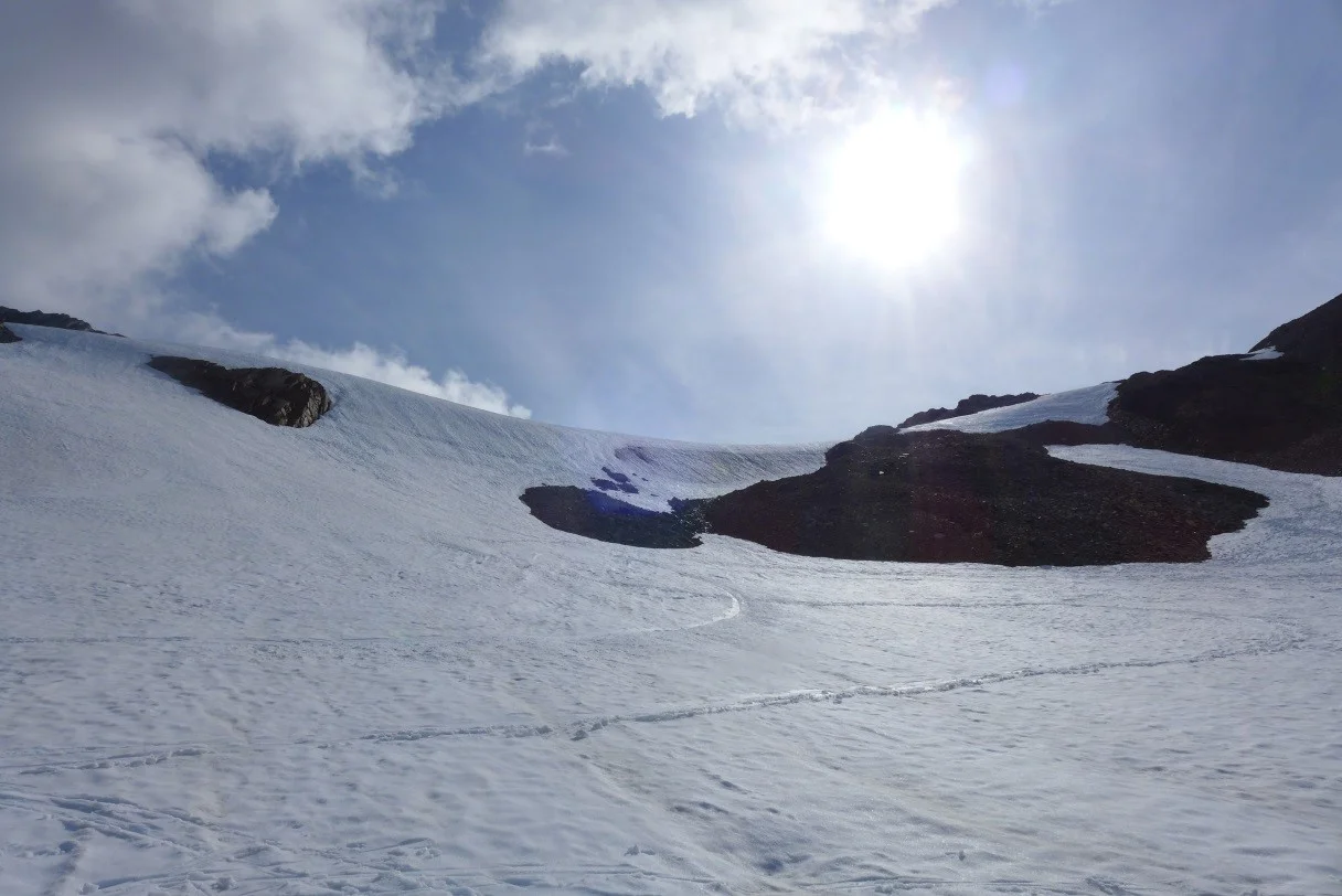
How does water move through ice? I hadn’t considered this question before a recent lecture we had in the library of Camp 17. In fact, I didn’t even know there was liquid water flowing through what seemed to be very solid ice. To my surprise and excitement, there’s a whole field within hydrology that explores this phenomenon. Kiya Riverman, a PhD candidate at Pennsylvania State University, is here at JIRP on faculty this summer. I met her while hiking up to Camp 17 from Juneau. As our trail party climbed up the vertical swamp, a steep and wet section of the trail, she shared with us her adventures in Svalbard where she first dove into glaciology and hydrology as an undergraduate. She’s been studying glacial hydrology in graduate school and is here now excited to share her knowledge with students and apply it to the Juneau Icefield. As we entered the Ptarmigan Valley, a recently deglaciated cathedral of stone, on our hike up to 17, I examined the evidence of fluvial geomorphology (rivers changing over time) of the stream that flowed through the valley and assumed a similar process when contained within a glacier: the same ox bow cutoffs and meandering curves. I assumed the water to run along the surface of the ice in small streams just before draining from the glacier. Kiya’s work is centered on how water moves through ice. Her eyes lit up as she told us about the intricately beautiful channels through ice that water flows through when draining from a glacier. It turns out that glaciers, especially those in mountain environments, have complex systems of channels that drain meltwater.

Kiya giving her glaciohydrology lab in the C-17 library. Photograph by Tadgh Moore.
After arriving at Camp 17, Kiya gave a talk about her research mapping channels through ice, which included inspiring photographs of sub-glacial streams. There are a few different ways to understand and investigate the channels inside of glaciers; one is climbing through them. During the presentation, we saw photographs from Iceland in which Kiya, ice axe in hand, was crawling through narrow ice channels. She showed us images of kickpoints, which are waterfalls contained within glaciers.

Rappelling into a glacial moulin. (Photograph by Alexis Fagnoni)
She also diagramed on the whiteboard how small cavities on the surface of a glacier create initially complex stream systems that mold into direct and efficient channels. She explained how the surface below the glacier, either sediment or bedrock, also influences the formation of glacial streams. Interestingly, Kiya included an explanation of Cut and Closure streams that erode vertically to the ground and are closed off at the surface over time, creating tear drop-shaped channel profiles. Furthermore, and less technically, she told us how hydrologists in Greenland had put rubber duckies in these drainage channels and observed them spit out into the ocean, evidence of the connectivity of glacial water systems.
Yesterday, while on a traverse on the Lemon Creek Glacier below Camp 17, we skied from areas of thick snow where the initial signals of seasonal drainage are becoming evident (i.e. tree-like networks of depressions descending into the valley) to the ablation zone, where the majority of melt takes place lower on the glacier. There, wide streams of deep blue water flowed over the ice and down the glacier. In some places, the channels were deep, undergoing the process of surface closure that Kiya explained in the library. Water that had traveled the length of the glacier collected here. Perhaps this place’s dynamic movement compensates for the still white vastness above. The white vastness of the snowfield condenses into blue streams rushing over dirty blue ice.
According to Kiya, glacial hydrology is an emerging field that has significant impacts on glacier health and dynamics. Looking out from the cliffs down to the Icefield, she explained to me how she thought Lake Linda, a supraglacial lake below Camp 17, was draining to the south through an unsorted Moraine (deposition of sediment at the margins of a glacier). I can tell she is always reading landscape through the lens of how water moves through it. It’s clear she has put her full self into her work and is curious about it. It is a yearning for this sort of curiosity in something that I believe drew me to a place like the Juneau Icefield. Considering questions that have never been asked before is an ingrained part of JIRP. Asking questions that spark more question-asking seems to be fundamental to science—fundamental to explaining how water moves through ice and fundamental to this experience crossing over the icefield to Canada.
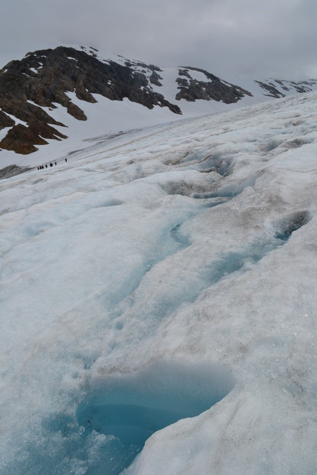
Supraglacial water seen in the ablation zone of the Lemon Creek Glacier. (Photograph by Joel Wilner)