Student Project: Geobotany, Nunatak and Periglacial Ecology and Entomology

2015 JIRP Student Project: Geobotany, Nunatak and Periglacial Ecology and Entomology 

Faculty experts: Alan Fryday, Karen Dillman, Saewan Koh, David Hik, Sean Schoville, Polly Bass

Overview of Projects and Goals:

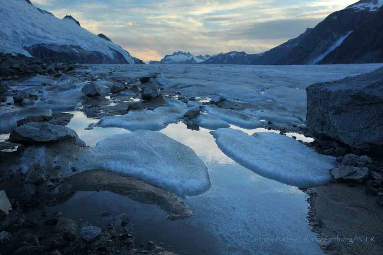
The ecological research of the Juneau Icefield Research Program is important on a global scale. The nunatak and periglacial habitats provide information on the impact of climate change on high latitude alpine habitats.  Work to date has indicated a 68% species increase since the time of first historical work in nunatak habitats of this region. 

Baseline observations allow for monitoring future changes. Threatened species, range extensions, and invasive species have been observed on the nunataks.  Study of the periglacial and nunatak habitats of the Alaska-Canada Boundary Range allow for insights into the future of this biome, which are not available from other indicators.

Research themes include habit change, species assemblages; interactions between plants, animals, insects, and substrates. Abiotic variables including aspect, dominant wind direction, slope, precipitation, and lithology, among other factors are considered. Successional processes will be investigated in conjunction with Quaternary geomorphology and landform development in the periglacial environment.  A model for species richness determinations, developed in previous research on the icefield nunataks will continue to be tested on previously uninvestigated nunataks. The data will be used to determine the validity of a hypothesis of nunatak biogeography as a corollary to the theory of island biogeography.  Students will learn basic plant (vascular and nonvascular) identification techniques, ecological field research methodologies, data analysis techniques, sampling and project design, and collection and processing procedures. Students will contribute to and participate in ongoing research. 

Specific Objectives and Possible Project Directions

A.      Carry out vegetation surveys and observations on many nunatak sites, with some sites of special interest; Observe for changes in abundance and species composition; Improve the representation of Southeast Alaska in the flora of the herbaria of UAF and UAA.

B.      Contribute to the data set to test the plant species richness per unit area model, revise and re-evaluate.

C.      Observe for and record the presence of Festuca genus grasses, with interest in the presence of Neotyphodium. Observe for the presence of foragers. Prepare collections for genetic work.

D.     Observe for, record and report the presence of species range extensions, invasive or exotic species, or fungi of interest, in particular, Taraxum sp. and Exobasidium karstenii.

E.      Consider and observe interspecies and species substrate relationships, including observations for Nebria and Bambina genus beetles; foragers, including birds, other insects, animals; and plants.

F.       Observe for the presence of Nebria sp. for studies on the dispersal of the species on the nunataks and within Northwestern North American mountain ranges. Collect Nebria, record detailed habitat observations, and prepare samples for genetic work.

G.     Re-evaluate sites investigated by Henry Imshaug, survey, observe, record, and collect lichens. Carry out lichen and bryophyte baseline studies.

H.     Assist with observation for and collection of Cryptogramma crispa, C. acrostichoides, and C. sitchensis for genetic work and study of the species dispersal since the LGM. Members of the fern genus Cryptogramma, are known by their common name as the ‘parsley ferns’. Prepare collections for genetic work.

I.        Download and re-deploy digital temperature data loggers at select sites. Analyze this data in association with other variables. Consider influence of growing season length and variations in growing season on the habitats.

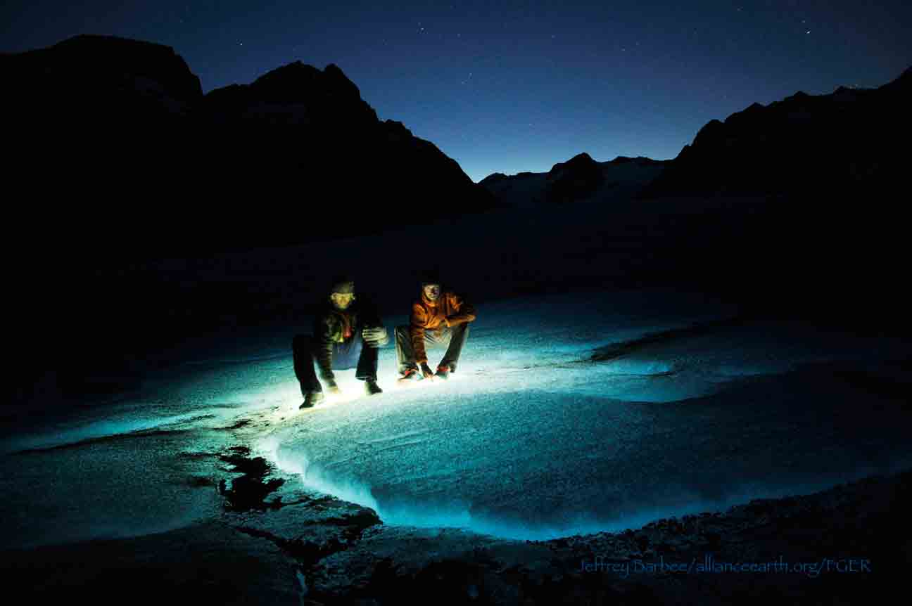
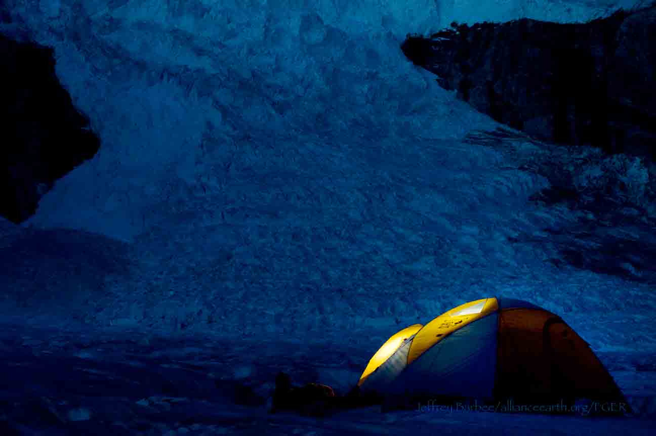
Timeline and logistics:  Introductory information on methodology and identification will take place at the beginning of the summer and be reinforced and reviewed throughout the summer as we traverse the icefield. At least 2-3 days/week will be spent in the field.  The ecology team will transport themselves, in most cases, to locations of interests.  Students should expect at least 1 day per week in camp working on data analysis.  New data will be collected, processed and preliminary interpretations made.  Two or more overnight field trips may take place to sites such the Nugget Ridge area, Sunday Point  and Brassiere Hills, possibly the Hole in the Wall and Twin Glaciers/ Camp 4 area, Juncture Peak and Shoehorn Peak area, Ivy Ridge, the Blob and/or F-10.

Possible conferences:

The Alaska Botanical Forum (will most likely be held in Fairbanks or Ketchikan in fall of 2015).

The Northwest Scientific Association Spring 2016 Conference, The Alaska Forum on the Environment Spring 2016 in Anchorage, The AISWG-CNPM(AK Invasive Species Conference) Fall 2015.

References:

Bjelland, T. 2003. The Influence of Environmental Factors on the Spatial Distribution of Saxicolous Lichens in a Norwegian Coastal Community. Journal of Vegetation Science(14) 4 525-534.

Cannone, N., Sgorbati, S., Guglielmin, M. 2007. Unexpected Impacts of Climate Change on Alpine Vegetation. Frontiers in Ecology and the Environment, 5(7):360-364

Halloy, S. R. P., & Mark, A. F. 2003. Climate-change effects on alpine plant biodiversity: A New Zealand perspective on quantifying the threat. Arctic, Antarctic, and Alpine Research. 35(2): 248-254.

Harvey, J.E. and Smith, D.J. 2013.  Lichenometric dating of Little Ice Age Glacier activity in the Central British Columbia Coast Mountains, Canada.  Geografiska Annaler: Series A, Physical Geography 95, p. 1-14.

Kammer, P. M., Schöb, C., and Choler, P. 2007. Increasing species richness on mountain summits: Upward migration due to anthropogenic climate change or re-colonisation? Journal of Vegetation Science. 18: 301-306.

Keeling, C.D., Chin, J.F.S. & Whort, T.P. 1996. Increased activity of northern vegetation inferred from atmospheric CO2 measurements. Nature. 382: 11 July,  146-149.

Koh, S. and Hik, D.D. 2007.Herbivory mediates grass-endophytes relationships. Ecology, 88(11); 2752–2757.

Koh, S. and Hik, D.D. 2008.Herbivory mediates grass-endophytes relationships Reply. Ecology, 88(12);3545-3549.

Smith, V. R., Steenkamp, M., & Gremmen, N. J. M. 2001. Terrestrial habitats on sub-Antarctic Marion Island: Their vegetation, edaphic attributes, distribution and response to climate change. South African Journal of Botany. 67: 641-654.

Walther, G.R., Beiβer, S., & Conradin, A. 2005. Trends in the upward shift of alpine plants. Journal of Vegetation Science. 16: 541-548.

Walther, G.R, Post, E., Convey, P., Menzel, A., Parmesan, C., Beebee, T. J. C., Fromentin, J. M., Hoegh-Guldberg, O., & Bairlein, F. 2002. Ecological responses to recent climate change. Nature. 416: 389-395.

Scherrer, D. and Körner, C. 2011. Topographically controlled thermal-habitat differentiation buffers alpine plant diversity against climate warming. Journal of Biogeography 38, 406–416.

Interview with Polly Bass

By Mary Gianotti

Polly Bass is a Faculty Member for the JIRP 2013 season. She came here first as a student herself in 1992 and has returned many times since then. She is a valuable member to the summer program with her knowledge in geobotany. Her enthusiasm is contagious and her dedication to the program a benchmark for all.

Dr. Polly Bass talking with JIRP students, Patrick Englehardt, William Jenkins and Mary Gianotti, about the geobotany of the "Taku B" nunatak on the Taku Glacier in Southeast Alaska. Photo by Mira Dutschke

Mary Gianotti: What is your current field of study or interest?
Polly Bass: I am a physical geographer specializing in alpine and high latitude vegetation, Quaternary environments and glacial geomorphology. I study the biogeography of periglacial areas and the vegetation of nunataks, in particular vascular plants and their distribution.

MG: What was your educational path to becoming a scientist?
PB: I was inspired first by my 7th grade science teacher, Mr. Anderson. He and his family were incredibly enthusiastic and lived their work. 

In my high school library I came across a booklet on National Science Foundation sponsored summer programs. That is how I found out about the Juneau Icefield Research Program. I wrote Dr. Miller and he replied with a detailed letter. My work in various jobs including a paper route and work at the Pastry Palace on the weekends allowed me to purchase my first plane ticket to Alaska.

Once I got up to the Icefield, I was taken by not only the passion everyone had for their work, but also by how Dr. Miller and the academic and safety staff really cared about the students and wanted them to succeed. They made sure we had a sense of responsibility and accountability to others and ourselves. Dr. Miller emphasized, s=xy^2. Your success in life (s) is equal to your God given ability (x) multiplied by your motivation (y) squared. In other words, your work ethic is much more important than your natural talent. The program also taught me about expedition mentality. If you hurt your toe, it is not just your toe, it is the expedition’s toe. It is important to take care of yourself and recognize you are one of several integral pieces of a well oiled machine. All are important and without one of the parts, the rest will not function as efficiently.

I attended the University of the South in Sewanee, Tennessee for my undergraduate degree and initially majored in geology.   An interest in the plant life encountered on geology field investigations led me to add a biology major. I knew I wanted to return to the Icefield. I earned my EMT certification and took NOLS and Outward Bond courses in winter camping and ski mountaineering and extra technical mountaineering in order to increase my value to JIRP. In 1994, I came back to the Icefield and worked on a senior thesis project while serving as a junior staff member. This research project was on the investigation of the presence of Blockschollen flow at the terminus of the Taku Glacier.

Following undergraduate work, I worked with the USFWS in Homer, Alaska, at the Alaska Maritime Wildlife Refuge prior to completing a masters degree with a thesis on the distribution of gymnamoebae in subtypes of the Orangeburg Sandy Loam. My concentration was in geology and botany. My advisor, Dr. Paul Bischoff was very inspiring. During this time I completed my teaching certification and student taught as a high school science teacher.  I then continued to pursue research and entered a doctoral program in physical geography, concentrating in alpine environments and high latitude environments. I went down to Ecuador initially considering research on tropical glacier environments.  Shortly thereafter I returned to the Juneau Icefield and felt like I had come home.  My interest in vegetation and its distribution led to the observation of a lack of knowledge on the plants of the icefield region. I decided to focus on the theory of island biogeography and its application to the nunataks.

Dr. Polly Bass talking with JIRP students, Mira Dutschke, William Jenkins amongst others, about glandular tipped hairs of Phyllodoce aleuctica, ssp. glanduliflora (Yellow Mountain Heather) on the "Taku B" nunatak above Camp 10. Photo by Sarah Bouckoms

MG: What have been the worst places your work has taken you?

PB: It is a matter of perspective. Southeast Alaska receives significant rain and wind.  This can wear on a person. Even the most difficult conditions make us  better and allow us to appreciate the sunny days. The challenges are just as important as the Bluebird Days. Supporting scientific field work requires significant energy and resources. We cannot afford to waste a day in a tent or shelter because it is raining sideways. Every day in this environment is a gift…another day in paradise.

MG: What about the best places your work has taken you?

PB: Getting to work in places where it is quite likely that no one has set foot prior, is a primeval thrill.  You are one with nature. You can really see nature at work without the clutter of contemporary times. The basic processes of landscape and ecosystem evolution are in clear view.

MG: From talking with you earlier I know that you have taught in Sitka, Alaska and been a Southeast Alaskan resident for seven years. What do you love most about Southeast Alaska?

PB: It is green and lush. Even in the winter it is green. You notice that when you go to other places.  People in Southeast Alaska love to complain about the wind and rain. However, it is all of the rain that makes the landscape lush and vibrant.

MG: How many times have you been up to the Juneau Icefield?
PB: Fifteen times.

MG: Clearly this is an important place to you. What do you love most about the Juneau Icefield?

PB: I like the feeling of being close to the Earth.  Without the complications of the modern world, one can focus on the basics.  When you remove these distractions you have a better chance of understanding what nature has to share. It allows for a new perspective on the world and life.

MG: What advice would you give to young scientists?

PB: Don’t box yourself in. Be open minded. Design your own skill set based on personal strengths. Change is the only constant in life. Having a background that is diverse and interdisciplinary will give you the ability to have unconventional insight in the areas where disciplines overlap. This is frequently where breakthroughs occur.  Do not be afraid to take the difficult route.  It will pay off in the long run. Don’t protect yourself by taking easy courses to protect your GPA. Let go of the ‘success ethos’ and other societal baggage and do what you are interested in and passionate about, even if it is not what you are best at, right now. Most importantly, be thankful for the people who care enough to tell you things that you may not want to hear  but need to hear; who point out your true potential, which you may not be living up to;  and who teach you how you can be a better scientist and person.

MG: Thank you Polly. It was nice talking with you.

Dr. Polly Bass talking with JIRP students about the cushion plants and lichens on the "Taku B" nunatak along the Taku Glacier in Southeast Alaska. Photo by Sarah Bouckoms.

Gilkey Trench Fieldwork Adventure

By The Gilkey Trench Crew (Jamie Bradshaw, William Jenkins, Jon Doty, and Justyna Dudek)

While many students already started the fieldwork for their projects at Camp 10 and even Camp 18, five students have been anxiously awaiting to begin their fieldwork in the Gilkey Trench. The Gilkey Trench is the magnificent view that you see from Camp 18 where the Gilkey, Vaughan-Lewis, the Unnamed and many other glaciers connect and flow down through the steep, glacially carved, 2,000 foot deep valley. The Trench is filled with beautiful curving medial moraines and jaw dropping ogives created by ice falls. Getting to such a beautiful place is not easy and well worth a full day’s effort.

Descending "The Cleaver" - approaching the start of the series of fixed ropes - with the Gilkey Trench in the background.  Photo by Adam Toolanen

On Wednesday, July 31st, these students and four safety staff members departed Camp 18 for our camp on the bare glacier ice in the sunshine. The trick to getting to the glacier is descending what is affectionately called “The Cleaver.” The Cleaver is the 2,000 feet of bedrock that sits between Camp 18 and the glaciers below.  The descent was led by senior staffer Scott McGee, who has done the route many, many times. The first half of the route was going down steep snow slopes until we got to a vegetated area called “The Heather Camp.” This is where the fixed ropes began.

Waiting in a safe location - protected from rockfall from above - for their turn to descend the next section of fixed ropes.  Photo by Adam Toolanen. 

Here, the students and staff put on helmets and harnesses and tied into the fixed ropes with a knot called a prussik. This rope system served as a back up in case there was a slip on the steep, unstable terrain.  Fixed ropes were used for the last half of the descent because the route became steeper and more exposed. Because the glacier is melting, new bedrock and rock debris is left behind. This makes finding new routes difficult and challenging in the unstable footing. After 11 very long hours, the students and staff safely and happily arrived at our camp in the Gilkey Trench during a magnificent sunset.

Scott McGee scouts the lowest section of the descent made of freshly exposed bedrock, and precariously deposited boulders left by the rapidly thinning Gilkey Glacier.  Photo by Jeffrey Barbee. 

The next two days were spent collecting data from the field. A brief explanation of the students’ projects in the Gilkey Trench are below:

Jamie Bradshaw - Surface Ablation of the Gilkey Glacier

For my project, I looked at the ablation, or melt rates, of the Gilkey Glacier. In May 2013, wires were steam drilled into the ice for Dr. Anthony Arendt at the University of Alaska Fairbanks (also a visiting JIRP Faculty member earlier in the summer). My task was to find these wires and measure how much wire was exposed. Luckily the sites came with known GPS coordinates and had a wire tetrahedron with bright orange flagging attached to it, so it was fairly easy to find in the rolling, mildly crevassed terrain of the Gilkey Glacier. By knowing the length of the wire exposed at the time of installation (which I will find out upon returning to civilization) and measuring the length of wire exposed in August, the ablation can be determined. This becomes important because once the area of the glacier is known, the total amount of melt water runoff from the glacier to the ocean can be calculated.

Jamie Bradshaw photo documents one of the ablation-measurement sites on Gilkely Glacier.  As the glacier surface melts, more wire (at Jamie's feet) is exposed.  Photo by Jeffrey Kavanaugh. 

William Jenkins - Ogive Survey

My research in the Gilkey Trench was focused on the ogives, also called Forbes Bands, which form at the base of the Vaughan Lewis Icefall, adjacent to Camp 18. These interesting features in the ice are annual formations that only appear beneath fast flowing icefalls. It is commonly accepted that their light and dark banding represents the variations between summer and winter ice that has made its way through the icefall in one year. Summer ice, which is subjected to wind blown particulates and increased melt, constitutes the dark bands of the ogives and forms the trough of their frozen wave-like appearance. The white winter ice is composed of that year’s snowfall, and forms the crests of the wave bulges. 

William Jenkins surveys one of the Gilkey Glacier ogives with GPS.  "The Cleaver" is the ridge of rock in the background, with the Vaughan Lewis Icefall on the right.  Photo by Jamie Bradshaw. 

The purpose of my study was to determine how fast this area of the Gilkey Glacier was thinning in comparison to previous years. In order to determine this rate, I conducted a longitudinal GPS survey, with the help of Scott McGee, that had previously been carried out from the years 2001-2007. As a result of the glacier’s rapid thinning rate, I’ll be able to calculate its subsidence by the changes in the elevation of the survey over time. I will also compare the data I observe with the Vaughan Lewis mass-balance data that JIRP has collected over the years. This comparison will allow me to correlate the changes in annual precipitation with the transformations in the ogives wavelength and amplitude over time. The relationship between mass balance and ogive structure will shed light on the future transformations of the ogives and Vaughan-Lewis Glacier as a whole.    

Panorama of one of the ogives near the base of the Vaughan Lewis Icefall (in the background).  Photo by William Jenkins. 

Justyna Dudek - Photogrammetry

The main objective of my project was to create an up to date digital terrain model (DTM) of the Vaughan Lewis Icefall flowing down from Camp 18 into the Gilkey Trench. A digital terrain model describes the 3-dimentional position of surface points and objects, and can be used to retrieve information about geometrical properties of glaciers. In order to create the model, I decided to explore the procedures and tools available within the field of digital photogrammetry, a practical method which allows carrying out non-contact measurements of inaccessible terrain (very useful for areas such as icefalls, which for the sake of avalanches and falling seracs, might be too dangerous for exploration or measurements on their actual surface). The baseline dataset for creating the DTM of Vaughan Lewis Icefall  were recorded on the first, sunny and cloudless day of our stay in the Trench. With the guidance from Paul Illsley (present via radio from Camp 18) and help from my colleagues Jeff Barbee and Jon Doty (present on the Gilkey Trench), I set up the three profiles along which we collected the data in the form of terrestrial photogrammetric stereo pairs and ground control points (GCP). The database created by our team will be subsequently processed in order create a DTM which can constitute a reliable, starting point for further research in this area in the future.


Paul Illsley overlooks the Vaughan Lewis Icefall from a terrestrial photogrammetry station near Camp 18.  Photo by Mira Dutschke. 

Jon Doty - Nunatak Biology

My path into the trench followed a slightly different approach than the other students who reached the Gilkey Trench via the Cleaver descent.  Ben Partan – Senior Staff member in charge of camp maintenance – and I were brought down to the Gilkey via helicopter from Camp 18 to Camp 19, with a load of material to fix up the camp, which sees infrequent use. After two days repairing the roof, and siding, as well as swamping the camp interior, we descended into the trench. During our descent we made four stops at progressively lower elevations, conducting a botanical survey. At each site I recorded all plant species present, the compass orientation of the plot, elevation, and tried to keep an eye out for faunal interaction, and any other interesting features of the site. 

Ben Partan repairs the C 19 roof.  The upper Gilkey Glacier is in the background.  Photo by Jon Doty. 

As we dropped down closer to the surface of Gilkey Glacier - biodiversity plummeted. My final site featured only a single species of plant, as opposed to nearly twenty at the highest point of my survey. This loss of biodiversity can be tied to the recession of the Gilkey exposing new substrates, and the time required for mosses and lichens to reach the area and for soil to develop. Using a rough dating technique called lichenometry, we can gain insight as to the amount of time each site has been exposed by the recession of the glacier. The lichen species Rhizocarpon geographicum grows about 1 cm for every 100 years and is very common. Its absence at the lowest two sites is therefore noticeable, and signals that these sites were only recently revealed.

My survey is paired with another conducted by Molly Blakowski on the southerly oriented C 18 nunatak. These two slopes face each other with the Gilkey separating them. We plan on comparing the results of our surveys to determine what affects the differences of aspect have on the vegetation.   It was an absolute pleasure to join back up with the group and explore the Trench, and true fun to climb up the Cleaver and reunite with the rest of the JIRPers at C 18. 

The 2013 Gilkey Trench Crew (left to right): Jeff Kavanaugh, Jeff Barbee, Justyna Dudek, Jamie Bradshaw, Adam Toolanen, Adam Taylor, Jon Doty and William Jenkins. Photo by Jeffrey Kavanaugh

In closing, on August 3rd, the Gilkey Trench Crew packed up camp and headed towards the Cleaver to ascend back to life at Camp 18. Again, we tied into fixed ropes, had a remarkably beautiful day and had a safe climb up the Cleaver. The Gilkey Trench Fieldwork Adventure had been a success and possibly, the icing on the cake for all crew members.

Additional photos from the Gilkey Trench Fieldwork Adventure.  Click on any of the images below to open a slideshow with all photos and captions: