
A Lesson of Their Own
Jeff Gunderson, College of Wooster
“How is everyone?” my trail leader asked after a long stretch across the entire Lemon Creek Glacier. Perhaps in the royal sense, my answer to that question would be that I had never been better. I mean, I was immersed in a beautiful landscape, surrounded by incredible people with many having expertise in my immediate academic interests. In that moment, however, I simply replied with a resigned ‘so-so’ gesture and continued to trudge on. My feet were sopping wet with freezing cold snow melt, the emerging blisters on the backs of my heels were each the size of a quarter and the windy rain had reduced visibility to a whopping 8 meters in all directions. All I could think in the midst of my disquietude was that I “only had two more hours of this awful slog to go” before I could return to the shelter of camp 17. To put it aptly, I was miserable for I had brought myself lower than did any of my perceived woes.

Rainy day out on the Lemon Creek Glacier. Photo by author.
I have since received time to reflect and the sun’s rays to rejuvenate (seriously, I’ve never been so happy to see the sun). As such, I have concluded there is something powerful in experiencing your own ugliness. By putting on display the worst possible reality you are capable of propagating, you enable yourself to improve and grow as an individual. Trust me, as someone who nearly ritualistically makes love to the snow by how much he falls on skis, I know now that patience and a positive attitude are crucial to survival on the Juneau Icefield.
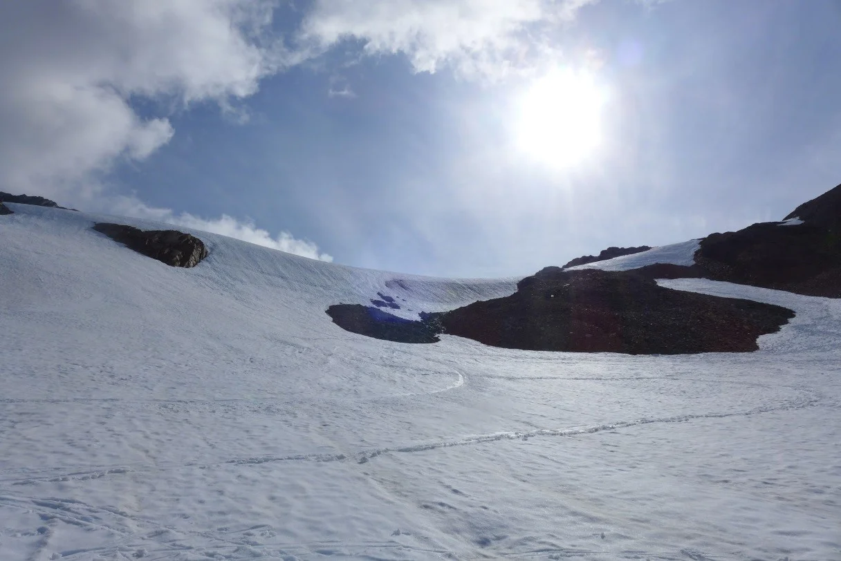
Sunny blue sky on the Fourth of July. Photo by author.
I am able to see the beauty inherent to the otherwise ordinary or mundane. Take the Fourth of July, for example. With the humility gained from the day before, falling during ski practice was a pleasure and loads of fun. The sky was a whole new vibrant shade of blue and the sun shone with a brilliance I hadn’t ever taken the time to appreciate. In the evening the most majestic sunset emerged, dousing the sky in strokes of bright orange and pink. Even though I had expected the Juneau Icefield Research program to expand my academic horizons, I feel as the mountains and glaciers are teaching a lesson of their own. As to what that may be I am only beginning to understand. So the next time I am asked “How is everyone?” without regard to my immediate deterrents, I will reply with “great!” and wholeheartedly mean it.

Sunset on the Fourth of July. Photo by author.


