
Using GPS Surveys to Monitor Glacier Health
Ella Keenan, University of Wisconsin - Eau Claire
Lara Hughes-Allen, University of Southern California
Mickey MacKie, Harvard University
GPS is an important tool for documenting the locations of data collected on the Juneau Icefield, and helps us get a better understanding of how the Taku Glacier works. Traditionally, mass balance pits have been the primary method for tracking the long term growth and retreat of glaciers. However, mass balance pits are dug only in certain locations, making it difficult to determine trends in other areas. High resolution GPS are used to collect elevation and velocity data, which augments mass balance data and tells us more about glacier dynamics.
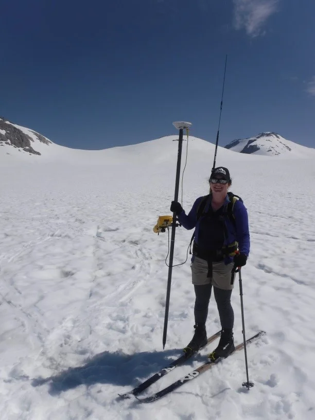
Ella using the Trimble GPS to survey the Lemon Creek Glacier. Photo by Mickey MacKie.
Across the entire Taku Glacier system, elevation and location data are collected using a Trimble GPS. We ride to different measurement points on snow machines (my favorite is named “Thor”). GPS measurements are taken in profiles going up and down the glacier, as well as across. Based on these elevation data, we can determine whether the Taku Glacier system is losing or gaining mass in any areas and the magnitude of these changes.
We can also find the velocity of the glacier by putting flags in the ice, measuring their positions, and re-measuring their positions a week later.
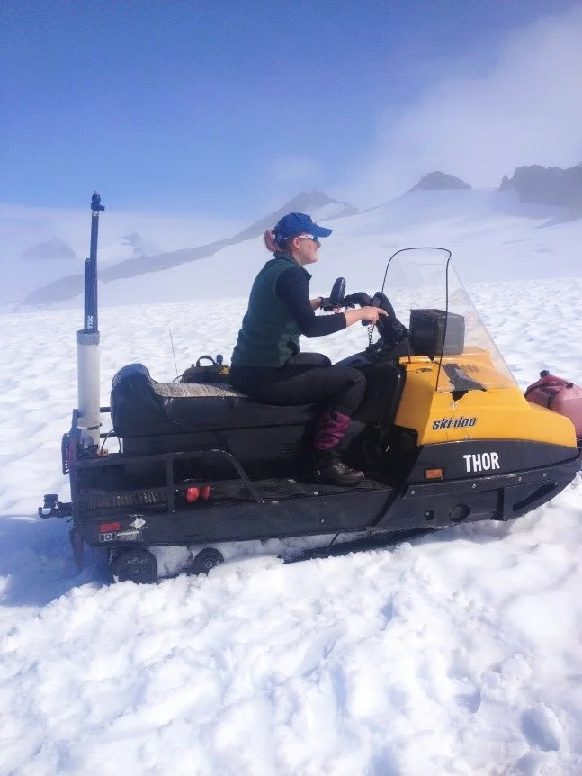
Mickey and Thor. Photo by Ella Keenan
We measure the same exact locations each year. This makes it easy to compare data between years all the way back to 1993 when digital collection began. Locational data are also taken by the student groups studying Ground Penetrating Radar, albedo and reflectance, and water isotopes. These different data sets complement one another and make it possible to monitor a suite of changes that are occurring on the Icefield.
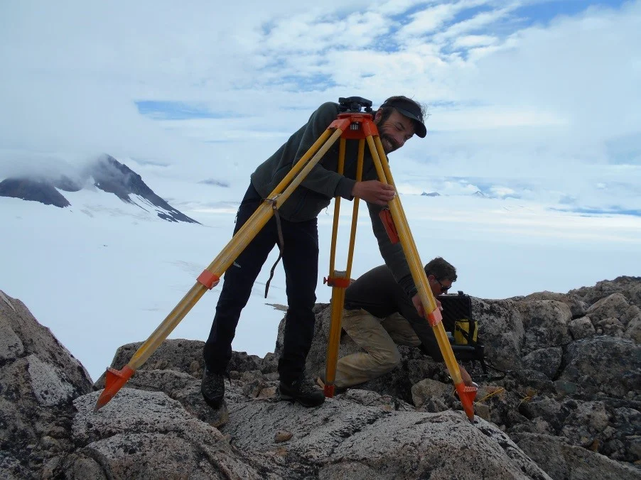
Bjorn setting up a benchmark, which is used to correct for error given by satellites. Photo by Lara Hughes-Allen.
Any changes in ice thickness and glacier velocity that are documented by the yearly GPS survey can be used to understand overall glacier health. As man-made climate change continues to escalate, the data collected at the Juneau Icefield Research Program will help to inform predictions about future glacier response to temperature and precipitation changes.